Hi-View Resources Kicks Off Ambitious Exploration Campaign in British Columbia's Toodoggone District
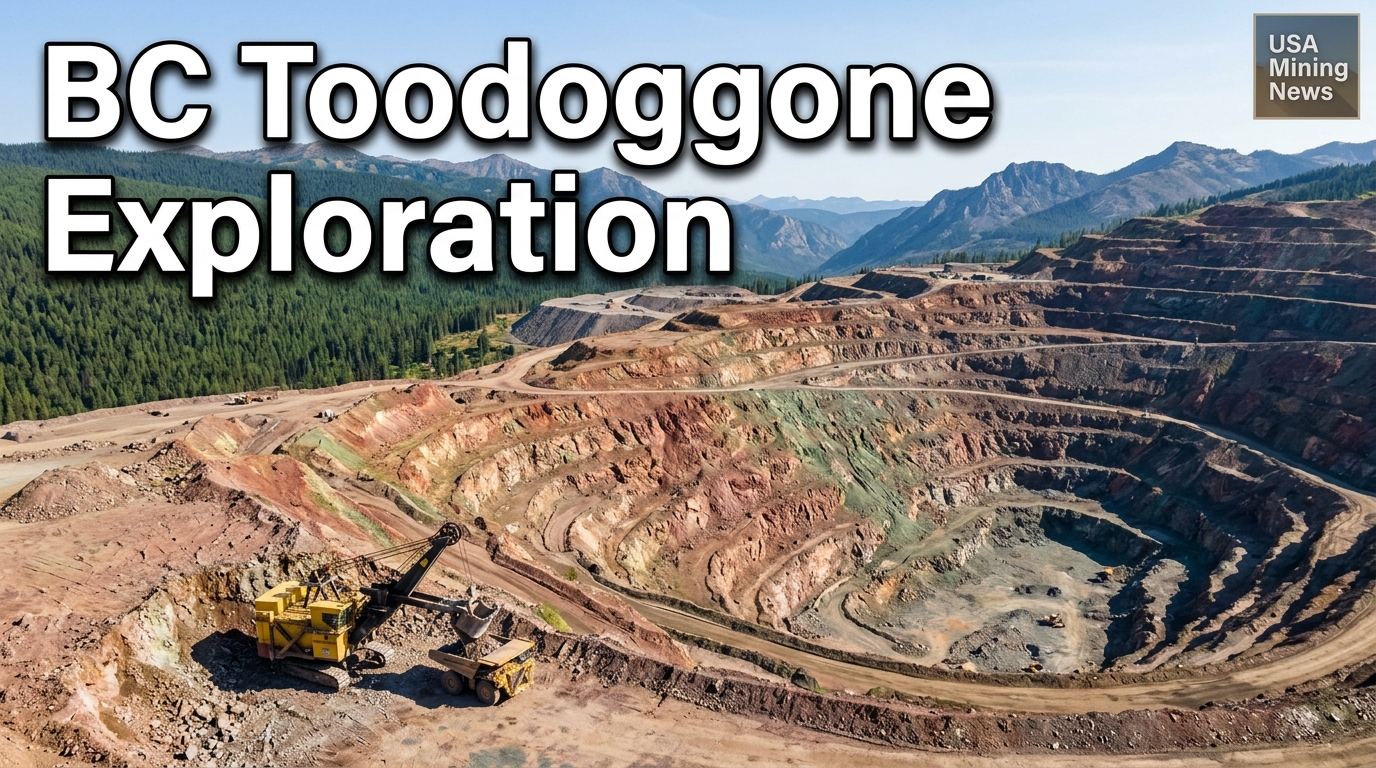
Vancouver, BC – July 16, 2026 – Hi-View Resources Inc. has officially commenced its highly anticipated 2026 exploration program in the Toodoggone Mining District of British Columbia, Canada. This significant undertaking marks a pivotal step for the company as it advances its extensive property portfolio, known for its prospectivity for both porphyry copper-gold and epithermal gold-silver systems. The current campaign is meticulously designed to refine existing targets and identify new zones of interest, ultimately aiming to define high-priority drill targets across multiple prospects within its land package.
Strategic Exploration Commences in British Columbia's Toodoggone
The Toodoggone Mining District is a renowned geological province within British Columbia, particularly celebrated for its association with significant precious and base metal deposits. Companies operating in this region benefit from a well-established mining infrastructure, a skilled workforce, and a clear regulatory framework provided by the provincial government, making it an attractive jurisdiction for mineral exploration and development. For Hi-View Resources, the decision to launch this substantial field operation underscores the perceived potential of its landholdings in an area synonymous with major discoveries.
The 2026 program is built upon previous successful exploration work, including geophysical anomalies identified in 2025 and surface geochemical indications. The integrated approach being employed by Hi-View leverages modern exploration techniques to thoroughly assess and de-risk the property, moving from broad-scale reconnaissance to highly focused target definition. This progression is critical for junior exploration companies, as it optimizes capital allocation by concentrating drilling efforts on the most promising areas, thereby increasing the probability of exploration success.
Comprehensive Geoscientific Program Unveiled
Hi-View Resources’ exploration activities are multifaceted, incorporating A combination of leading-edge geophysical, geochemical, and geological methods. These include:
- Induced Polarisation (IP) Surveying: The company plans to conduct 50 line kilometers of IP surveying. IP is a crucial geophysical technique in porphyry and epithermal exploration, as it can detect subsurface chargeable zones, often indicative of disseminated sulfide mineralization frequently associated with these deposit types. The survey lines are strategically positioned over geophysical anomalies previously detected by the company in 2025 and over known surface geochemical anomalies, aiming to trace potential mineralized structures at depth.
- Geological Mapping and Prospecting: Over 50 square kilometers will undergo detailed geological mapping and prospecting. This involves systematically examining outcrops, rock types, structural features, alteration patterns, veining, and visible mineralization. The geological teams will be specifically targeting indicators of porphyry and epithermal mineral systems, which are the primary deposit models for the district. This work also aims to confirm historic mapping and thoroughly investigate previously under-explored zones using advanced methodologies such as hyperspectral analysis, petrography, and whole-rock geochemistry for a more precise understanding of mineralogy and alteration mineral assemblages.
- Soil Geochemistry: Approximately 4,000 soil samples are slated for collection across more than 100 square kilometers. Soil sampling is an effective reconnaissance tool, particularly in areas with glacial cover, as it can reveal underlying mineralization through the dispersion of trace elements in the soil profile. These samples are due to be analyzed using an ultratrace multi-element package, a highly sensitive method designed to detect very low-level concentrations of pathfinder elements. Specifically, the analysis will focus on indicators such as tellurium and selenium, which are commonly associated with porphyry-epithermal mineral systems, providing subtle yet critical clues to deeply buried or concealed deposits. Soil sampling will be prioritized in the southern property sections and within the Black Pearl zone, where limited previous data exists, offering a fresh perspective on these areas.
The combined insights from these techniques will create a robust 3D model of the subsurface, highlighting areas of high potential for subsequent drill testing.
Targeting High-Potential Zones: Lawyer's East, Borealis, and Golden Stranger
A significant highlight of Hi-View’s 2026 program is the approval of drill permits for its main target areas: Lawyer’s East, Borealis, and Golden Stranger. This regulatory milestone signals that these zones have met the necessary environmental and operational requirements for advanced exploration, paving the way for potential drilling campaigns following the current fieldwork. The current exploration efforts are concentrating heavily on these locations with the explicit aim of finalizing precise drill targets.
Field operations are designed to address the specific geological characteristics and exploration potential of each zone across Hi-View Resources’ expansive property. Activities include:
- Lawyer's East and Borealis: These two priority areas will receive comprehensive attention, with planned activities encompassing IP surveying, extensive soil collection, detailed prospecting, and geological mapping. This integrated approach is crucial for defining the extent and nature of mineralization in these advanced targets.
- Black Pearl: This zone will be subjected to IP surveying, soil collection, mapping, and prospecting. The emphasis here, particularly on soil sampling, is to build upon limited existing data, potentially identifying new anomalies.
- Golden Stranger: Activities at Golden Stranger will involve IP surveying, soil collection, and prospecting, focusing on refining targets that have already shown promise.
- Additional Fieldwork: Other areas, including Saunders, Nub, and various northern properties, are scheduled for additional fieldwork such as IP surveys or mapping, indicating a broader strategy to systematically evaluate the entire land package.
- Other Target Areas: Beyond the immediate focus areas, the property also hosts other named target zones, including Harmon Peak, Ursus, Junker, Garnet, and Oxide Summit. While not the immediate focus for intense target vectoring, their continued presence in the company's portfolio highlights the extensive prospectivity and long-term exploration pipeline within the Toodoggone property.
Leadership Perspective and Future Outlook
The strategic intent behind this extensive program was articulated by Hi-View CEO, R. Nick Horsley, who stated, “This exploration programme will be focused on final target vectoring of porphyry targets focusing on the most advanced target areas.” He further emphasized the direct link between the current fieldwork and future drilling, noting, “Once the data is collected from the priority targets the company will look to advance towards a drill programme.”
Mr. Horsley’s comments underscore a methodical, data-driven approach to mineral exploration. "Target vectoring" is a critical phase where all gathered geological, geochemical, and geophysical data are synthesized to pinpoint the most geologically compelling and economically viable locations for drilling. This systematic de-risking process ensures that significant capital investment in drilling is directed to areas with the highest potential for discovering economic mineralization, thereby maximizing the return on exploration expenditure.
Implications for the Mining Sector and Investors
Hi-View Resources’ current exploration drive in the Toodoggone Mining District holds significant implications for the broader mining sector and potential investors. In a global landscape facing increasing demand for critical metals like copper and gold, early-stage exploration by junior companies like Hi-View is vital for replenishing the global mineral supply pipeline. New discoveries are becoming increasingly challenging and costly, making systematic, technically rigorous exploration campaigns ever more important.
For investors, this campaign represents a compelling opportunity within the high-risk, high-reward junior exploration space. The approval of drill permits for key targets is a strong indicator of advancing project maturity and mitigates some of the regulatory uncertainties often associated with early-stage projects. The Toodoggone district, with its established geological potential, adds an additional layer of confidence, aligning Hi-View with successful precedents in the region.
Successful target vectoring and subsequent drilling could lead to the identification of significant mineral resources, which would substantially increase Hi-View Resources’ valuation and attract further investment or potential strategic partnerships with larger mining companies seeking to bolster their growth portfolios. The focus on porphyry targets is particularly noteworthy, given that these deposits are typically large-tonnage, long-life assets that can contribute significantly to a company’s long-term production profile and global metal supply.
As Hi-View Resources progresses through its 2026 exploration program, the industry will be watching closely for updates on data analysis and the subsequent initiation of the planned drill program. The outcomes of this campaign could not only redefine the potential of Hi-View’s Toodoggone property but also reinforce British Columbia’s standing as a premier jurisdiction for world-class mineral discoveries.