New Geophysical Insights Bolster La Union Exploration in Sonora
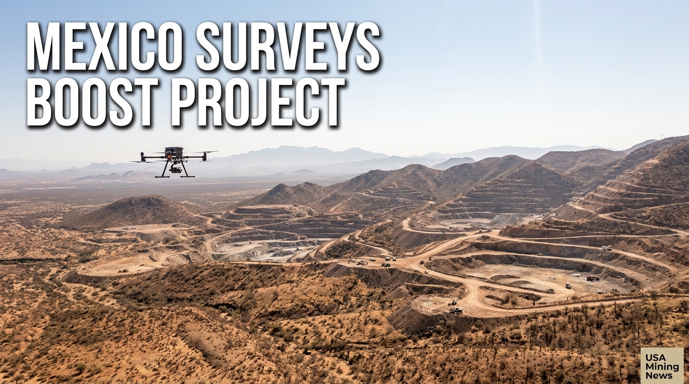
Sonora, Mexico – In a significant boost to their ongoing exploration efforts, Riverside Resources and its partner Questcorp Mining announced on July 9, 2026, the successful completion of an expanded geophysical survey program at their collaboratively operated La Union Project. These advanced surveys, comprising both an aeromagnetic drone survey and an induced polarization (IP) ground geophysics survey, are designed to provide crucial subsurface data, directly informing and expanding upon the results from the current core drilling activities at the promising asset.
The strategic implementation of these geophysical tools underscores a systematic approach to exploration, aiming to de-risk drilling and efficiently vector towards economically viable mineralization. For junior exploration companies like Riverside and Questcorp, such methodical work is paramount in unlocking value and attracting further investment in highly competitive jurisdictions like Sonora, a region renowned for its rich mineral endowment.
Strategic Partnership Drives Exploration Forward
The La Union Project is a joint venture between Riverside Resources, a mineral exploration company focused on generating and acquiring gold-silver and base metal projects, and Questcorp Mining. Their collaboration combines expertise and resources, enabling a more robust exploration agenda. This partnership initiated the phase two exploration program at La Union earlier this year, building on foundational work to progressively advance the project through detailed geological and geophysical studies toward drilling.
The completion of these extensive surveys marks a pivotal milestone within this phase, providing a comprehensive dataset that is instrumental for decision-making. John-Mark Staude, President and CEO of Riverside Resources, emphasized the immediate impact of this data. “With the IP survey now complete, combined with the processed aeromagnetic data, we have an expanded view of the Union Project’s targets and structural framework, both at depth and along strike from current drilling,” Staude stated. “Our teams are in the field continuing phase two drilling, and this data is immediately helping us expand targeting and prioritise the project’s robust set of targets. The programme is going well, and our teams are processing drill core and sending samples to the laboratory for assays.” His comments highlight the real-time integration of exploration data into ongoing field operations, a key factor in efficient project development.
Unpacking the Geophysical Program: Aeromagnetics and IP
The recently concluded program involved two distinct yet complementary geophysical methodologies, each providing unique insights into the subsurface geology of the La Union Project.
Aeromagnetic Drone Survey
- Methodology: The aeromagnetic survey utilizes drones equipped with magnetometers to measure subtle variations in the Earth's magnetic field. These variations are often indicative of different rock types, particularly those containing magnetic minerals, and, crucially, structural features like faults and contacts.
- Coverage & Detail: The survey at La Union was extensive, covering 193 kilometers across 145 flight lines, supplemented by 55 kilometers of tie lines for data calibration and quality control. This scale ensures broad coverage and detailed resolution.
- Results & Integration: The data from the aeromagnetic survey has been fully processed and delivered, and is currently being incorporated into the ongoing summer drilling program. This immediate integration allows drillers and geologists to adjust their strategies dynamically.
- Key Findings: Analysis of the aeromagnetic data has been particularly insightful, highlighting significant structural trends, including both north-east and north-west-trending cross structures. These features are critical because they may overlap with mapped feeder fault zones – conduits through which mineralizing fluids typically travel. The identified structures are highly relevant to the potential for both carbonate replacement deposit (CRD) and sediment-hosted gold mineralisation, two important deposit types globally and within Mexico. Furthermore, the surveys provided improved imaging of subsurface structures and offered enhanced context for known mineralisation situated near diorite bodies, which can act as heat sources or structural controls for ore formation.
Induced Polarization (IP) Ground Geophysics Survey
- Methodology: An IP survey measures the chargeability and resistivity of the ground by injecting electrical current into the earth. It is particularly effective at detecting disseminated sulfide minerals, which are often intimately associated with many precious and base metal deposits, including gold and copper. Anomaly patterns can indicate areas of sulfide enrichment that may host economic mineralization.
- Coverage & Status: The IP ground survey at La Union consisted of five lines and has also concluded. The crucial next step involves the processing of this raw data, with Riverside and Questcorp anticipating the processed results to be available soon.
- Purpose & Future Use: Once processed, the IP information is expected to play a crucial role in refining existing drill targets, allowing for more precise drill hole placement. It will also be instrumental in identifying entirely new targets, thereby expanding the exploration upside of the project. A key objective is for the IP data to help define both ongoing drilling targets and wider exploration zones across the La Union property.
Integrating Data with Active Drilling Operations
The simultaneous execution of geophysical surveys alongside core drilling highlights a high level of operational synergy at La Union. This integrated approach ensures that the most current subsurface information is continuously feeding into the drilling strategy, maximizing the efficiency and effectiveness of each drill hole. Drilling has already been completed at the Union and Union North targets, with work remaining active at the Jabali target.
The expectation is that the comprehensive geophysical datasets will significantly aid in interpreting and expanding upon the results from the current core drilling activities at these three key areas. By correlating geophysical anomalies with geological observations from drill core and surface mapping, the exploration teams can develop more robust and predictive geological models. This process is crucial for understanding the geometry, controls, and extent of mineralization at depth and along strike.
Furthermore, the ongoing work in the field includes the meticulous processing of drill core and the prompt dispatch of samples to laboratories for assaying. These assays will provide the definitive quantitative data on mineral grades, which, when combined with the enhanced structural understanding from geophysics, will paint a clearer picture of the project's economic potential.
La Union Project: A Regional Perspective
The La Union Project is strategically located in Sonora, Mexico, a jurisdiction globally recognized for its significant mineral production, particularly in gold and copper. The region boasts a rich geological endowment, characterized by various deposit types, including prominent CRD and sediment-hosted gold systems. The expanded geophysical program is explicitly described as building on initial exploration work, crucially placing the La Union Project within this larger-scale regional perspective.
Understanding the regional geological context is vital. The identification of structural trends (e.g., feeder fault zones) and the association with host rock characteristics (e.g., diorite bodies, specific sedimentary units) aligns La Union with established mineralizing systems in Sonora. This suggests that the exploration efforts are targeting known and proven deposit styles within a highly prospective environment.
The Broader Industry Significance
For the broader mining industry, especially the junior exploration sector and its investors, timely progression through systematic exploration phases like this is crucial. Comprehensive geophysical programs significantly de-risk projects by providing non-invasive, cost-effective methods to 'look' beneath the surface before committing to expensive drilling. This approach helps in:
- Target Prioritization: Allowing companies to focus drilling on the most prospective anomalies, thereby increasing the chances of discovery.
- Resource Optimization: Reducing the number of 'blind' drill holes, leading to more efficient capital allocation.
- Enhanced Geological Understanding: Building robust 3D geological models that are essential for future resource estimation and mine planning.
- Investor Confidence: Demonstrating a professional and rigorous exploration methodology, which is vital for attracting future funding rounds and maintaining shareholder value.
The proactive integration of advanced geophysical data into ongoing drilling operations, as seen at La Union, sets a benchmark for efficient exploration practices. It underscores the industry's continued reliance on technological advancements to navigate increasingly complex geological challenges and uncover new mineral wealth.
Next Steps and Outlook
With the aeromagnetic data already providing immediate benefits, the industry eagerly awaits the processed results from the IP ground survey. These results are anticipated to further refine and expand the targeting capabilities at La Union, potentially leading to the identification of new high-priority drill locations.
In the short term, Riverside and Questcorp will continue their phase two drilling program at Jabali, along with the processing of core and submission of samples for assay from all three active target areas (Union, Union North, and Jabali). The confluence of detailed geophysical insights and forthcoming assay results will provide a holistic picture of the mineralization at La Union, determining the next crucial steps for this promising Mexican project and its potential role in future mineral supply chains.